Mountain Weather Kit山地天气工具
Summit temperature, freezing level from lapse rates, cloud signs and the afternoon storm rule — before you commit to the route. 出发前用递减率估算山顶温度与零度层,速查云况预示、气压趋势与午后雷暴规律。
How the mountain weather kit works
Air cools as it is lifted. This kit turns that single fact — the temperature lapse rate — into an estimated summit temperature, the altitude of the freezing line, and a checklist of sky signs that experienced mountaineers read before and during a climb.
The core calculation is linear. Given a shaded base temperature Tbase in °C, an environmental lapse rate Γ and the elevation difference Δh in kilometres:
Tsummit = Tbase − Γ × Δh
The standard (environmental or moist) atmosphere cools at 6.5 °C/km — about 3.5 °F per 1000 ft — and is the best default for cloudy, mixed or unknown conditions. Dry air that is lifted without condensing cools faster at the dry adiabatic rate of 9.8 °C/km (about 5.4 °F per 1000 ft), which is why sunny upslope days can surprise you with a much colder summit than the average suggests. A slider lets you set any value between 4 and 12 °C/km; a steepening measured rate on the mountain itself is a classic sign of instability.
Finding the freezing level
The freezing level — where the temperature crosses 0 °C — is estimated by running the same straight line back downward until it reaches zero:
hfreeze above base (km) = Tbase ÷ Γ, then Hfreeze = Hbase + hfreeze
If the result lands between your base and summit, expect verglas, rime or snow on the upper route; if it is above the summit, the climb stays liquid; if the base is already below zero, the whole route is a winter objective. Note that inversions, cold air pooling in valleys and frontal passages break the linear model — a forecast sounding (and your own altimeter-barometer trend) always overrides it.
Clouds, pressure and the noon rule
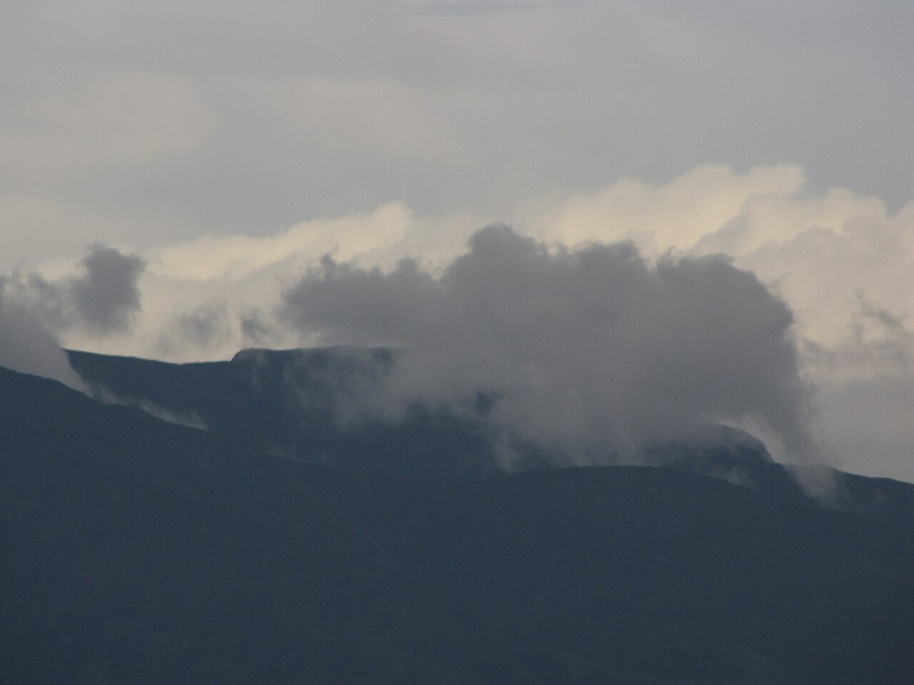
The cloud cards translate the sky: an anvil-topped cumulonimbus means a storm is mature and you should be descending; lenticular and rotor clouds mark severe wave turbulence; a summit cap cloud means deteriorating conditions; valley radiation fog usually burns off by mid-morning; and tall cumulus growing before noon announces afternoon thunderstorms. The pressure table turns three altimeter readings into a trend: steady high means stable, falling 2–3 hPa in six hours means a front is approaching, more than 3 hPa in three hours means a storm is imminent, and a rise after a fall means clearing. In convective season, combine everything into one rule: be off summits, ridges and talus by 12:00 local — storms peak between 12:00 and 18:00.
山地天气工具的原理
空气被抬升时会冷却。本工具把「气温递减率」这一条规律,换算成山顶预估气温、零度层海拔,以及有经验的登山者出发前与行进中必读的天空信号清单。
核心计算是线性的。给定起点背阴气温 Tbase(°C)、递减率 Γ 与海拔差 Δh(千米):
T山顶 = Tbase − Γ × Δh
标准大气(环境/湿空气)平均每升高 1 千米降温 6.5 °C(约每 1000 英尺 3.5 °F),是多云、混合或未知条件下的最佳默认值。未凝结的干空气按干绝热递减率 9.8 °C/km(约每 1000 英尺 5.4 °F)更快降温,所以晴朗上坡日,山顶可能比平均值冷得多。滑块允许在 4–12 °C/km 之间自定义;山上实测递减率加大,是大气不稳定的典型信号。
零度层怎么算
零度层即气温降至 0 °C 的海拔高度。把同一条直线向下延伸到零即可:
零度层高出起点(km)= Tbase ÷ Γ,且 H零度层 = H起点 + h零度层
结果落在起点与山顶之间,高海拔路段预计有雨凇、雾凇或积雪;高于山顶则全线不冻;起点已在冰点以下,则整条路线都是冬季目标。注意:逆温、谷底冷空气池与锋面过境会打破线性模型——官方探空预报(以及你自己的高度气压计趋势)永远优先于估算。
云况、气压与正午原则
云卡把天空语言翻译给你:砧状积雨云意味着雷暴已成熟,应立即下撤;荚状云与滚转云标志强烈山地波颠簸;帽状云盖顶表示天气转差;谷底辐射雾通常在上午中段前后消散;午前迅速长高的积云预告午后雷暴。气压表把三次读数变成趋势:高压稳定则天气平稳,6 小时降 2–3 hPa 表示锋面逼近,3 小时骤降 3 hPa 以上表示风暴迫在眉睫,降后回升则天气转好。对流季节把一切汇总为一条铁律:当地时间 12:00 前离开山顶、山脊与碎石坡——雷暴在 12:00–18:00 达到高峰。