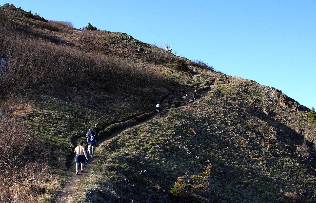
“It's only six miles — we'll be back by lunch” has started more overdue hiker calls than broken ankles. On a map, distance divided by flat-ground walking speed is a seductive number, and it is almost always a lie in the mountains. Climbing costs time that distance does not show, terrain underfoot can double your pace penalty, and a group moves at its slowest member plus every rest stop. This guide walks through the classic estimating rules — Naismith, book time and Tobler — adds terrain and group corrections, and ends with the daylight discipline that actually keeps search-and-rescue teams away from your trailhead.
Why distance divided by speed lies
Your fastest pavement-walking speed might be 3.5 mph, but a trail is not pavement. A six-mile day with 3,000 feet of climbing over loose scree is a different universe from six flat miles of rail trail. Three things hide inside the map that flat speed ignores: vertical gain, which demands extra muscular work step after step; surface, from gravel to boulder fields to brush; and micro-terrain — roots, stream crossings, route-finding pauses, the narrow ledge where everyone queues. Weather, pack weight and fatigue compound all three on the way home. Any honest estimate must add these explicitly rather than hoping they average out.
Naismith's rule: the 1892 baseline
The original formula comes from Scottish mountaineer William Naismith in 1892, and it remains the anchor every later rule adjusts. In its modern imperial form: allow one hour for every 3 miles (about 4.8 km) on the flat, plus one hour for every 2,000 feet (about 610 m) of ascent. The two components are added, never blended:
- Walking component: distance ÷ 3 mph
- Climbing component: ascent ÷ 2,000 ft per hour
- Estimate = walking + climbing, before breaks and group corrections
As the calibration example used across this site, an ordinary-fit hiker facing 3 miles with 2,000 feet of gain budgets one hour of walking plus one hour of climbing: 2:00 moving time. Naismith assumes reasonable trails, daylight and a moderately fit adult — it was never meant for snow, bushwhacking or a hungover group of five.
Metric form and where it breaks
In metric units the same rule is roughly 5 km/h on the flat plus one hour per 600 m of climb. Naismith overestimates fit trail runners on smooth graded paths and underestimates anyone at altitude, in deep snow, or carrying a heavy pack — treat it as the moving-time floor for a competent party in good conditions, not the whole answer.
Book time: the conservative American standard
U.S. park and trail-guide “book times” deliberately plan slower: typically 2 mph of flat travel plus one hour per 1,000 feet of climbing for uphill travel. The same 3-mile, 2,000-foot leg becomes 1:30 of walking plus 2:00 of climbing — 3:30 against Naismith's 2:00. That gap is not sloppy math; it builds in sightseeing, uneven footing, amateur parties and thin air.
| Rule | Flat speed | Climb penalty | 3 mi + 2,000 ft | Best for |
|---|---|---|---|---|
| Naismith (1892) | 3 mph | +1 h / 2,000 ft | ≈ 2:00 | Fit party, good trail baseline |
| U.S. book time | 2 mph | +1 h / 1,000 ft | ≈ 3:30 | Public guides, mixed groups |
| Adjusted reality | Naismith × terrain × group factors | 2:15–4:30 | Your actual trip plan | |
When a ranger handout and an app disagree, the slower number is the one to carry. Guides are conservative because rescue data made them that way.
Tobler: descents cost time too
Naismith charges only uphill, which makes downhill look free — a dangerous fiction on technical ground. In 1993 cartographer Walther Tobler published a hiking function modeling speed against slope angle in both directions. His curve shows speed peaking on slightly descending trails but falling off steeply on sharp descents: knees, trekking-pole braking and loose surfaces make a 30-degree downhill far slower than the matching climb. The practical translation: on scree, wet rock, fixed lines or anything you would call a scramble, add an explicit descent penalty — experienced parties often budget 60–80% of the climbing time for a hard downhill, and more when snow or ice forces step-chopping. The way out is part of the route, and tired legs make it the slower half.
Terrain coefficients: multiply, don't guess
After choosing a base rule, multiply the moving time by a surface factor before adding anything else. The planning coefficients used across this site's food and pacing tools are:
| Underfoot surface | Multiplier | Examples |
|---|---|---|
| Paved / smooth graded path | ×1.2* | Park road, canal towpath (*use 1.0 for pure road walking) |
| Normal dirt trail | ×1.42 | Forest singletrack, maintained mountain path |
| Rough / bouldery terrain | ×1.8 | Scree, talus, moraine, root chaos |
| Bushwhack / thick brush | ×2.5 | Off-trail scrub, alder, dense forest |
Apply the factor to the dominant surface, and split the route into legs where it changes — a 2-mile trail approach and a 2-mile talus basin should never share one number. The hike time & pace planner chains exactly these legs with Naismith/book-time climb penalties for you.
Group corrections: the slowest, the load, the breaks
A route estimate describes a party, not an individual. Apply these corrections honestly:
- Pace by the slowest member — plan from the least fit person's last known similar hike, not the strongest's optimism.
- Pack weight: heavy winter or multi-day loads add roughly 10–25% to moving time versus day-gear.
- Rest cycle: a sustainable rhythm is about 10 minutes of rest per 50 minutes of movement — that is a +20% clock-time factor many plans forget.
- First exposure to altitude: parties newly above roughly 2,500–3,000 m move noticeably slower until acclimatized; add time generously on day one.
- Navigation, photos and crossings: add small explicit blocks rather than letting them invisibly inflate the day.
Multiplying even a mild 1.4 terrain factor by 1.2 for breaks explains why a “two-hour” Naismith leg quietly fills an afternoon — and why writing the factors down beats arguing at dusk.
Daylight math and the turnaround rule
A time estimate is useless without the day it fits inside. Pull official sunrise and sunset for your exact date and location from NOAA's solar calculator rather than a phone weather app; at about 45° latitude in mid-June a hiker gets roughly 15 hours 37 minutes between sunrise and sunset, while a late-October day there offers barely 10. Two disciplines then keep you safe:
- Keep a one-third darkness buffer: plan to finish with about one-third of available daylight still unused. On a 12-hour day that means being back with roughly four hours of light in reserve, absorbing delays without a headlight panic.
- The 15:00 turnaround rule: regardless of where you are, if summit or objective is not reached by mid-afternoon (3 p.m. is the classic cutoff), turn around. Most after-dark rescues come from parties who walked one more ridge for twenty more minutes.
Pack a headlamp anyway, and remember twilight and forest canopy shorten usable light well before the printed sunset.
Weather check and putting it together
The last pre-trip variable is the one most likely to change all your factors: mountain weather. Before departure, use the mountain weather kit to read summit-level temperature (expect roughly a 6.5 °C drop per 1,000 m of elevation), the freezing-level altitude, wind and afternoon thunderstorm odds; a wet, wind-scoured route is slower, colder and more dangerous than any formula predicts, and lightning simply closes exposed terrain. Then build the plan in order:
- Split the route into legs with distance, ascent and surface for each.
- Apply Naismith or book time per leg; add descent penalties on technical downhills.
- Multiply by terrain coefficients, then group and break factors.
- Sum the legs and check the total against NOAA daylight with a one-third buffer.
- Set the turnaround time before leaving the car, and tell someone the plan.
Re-run the arithmetic with the hike time & pace planner whenever distance, elevation or party composition changes — a plan built from written numbers is a plan you will actually follow when the summit fever starts.